HER(R)BERGSKIRCHEN
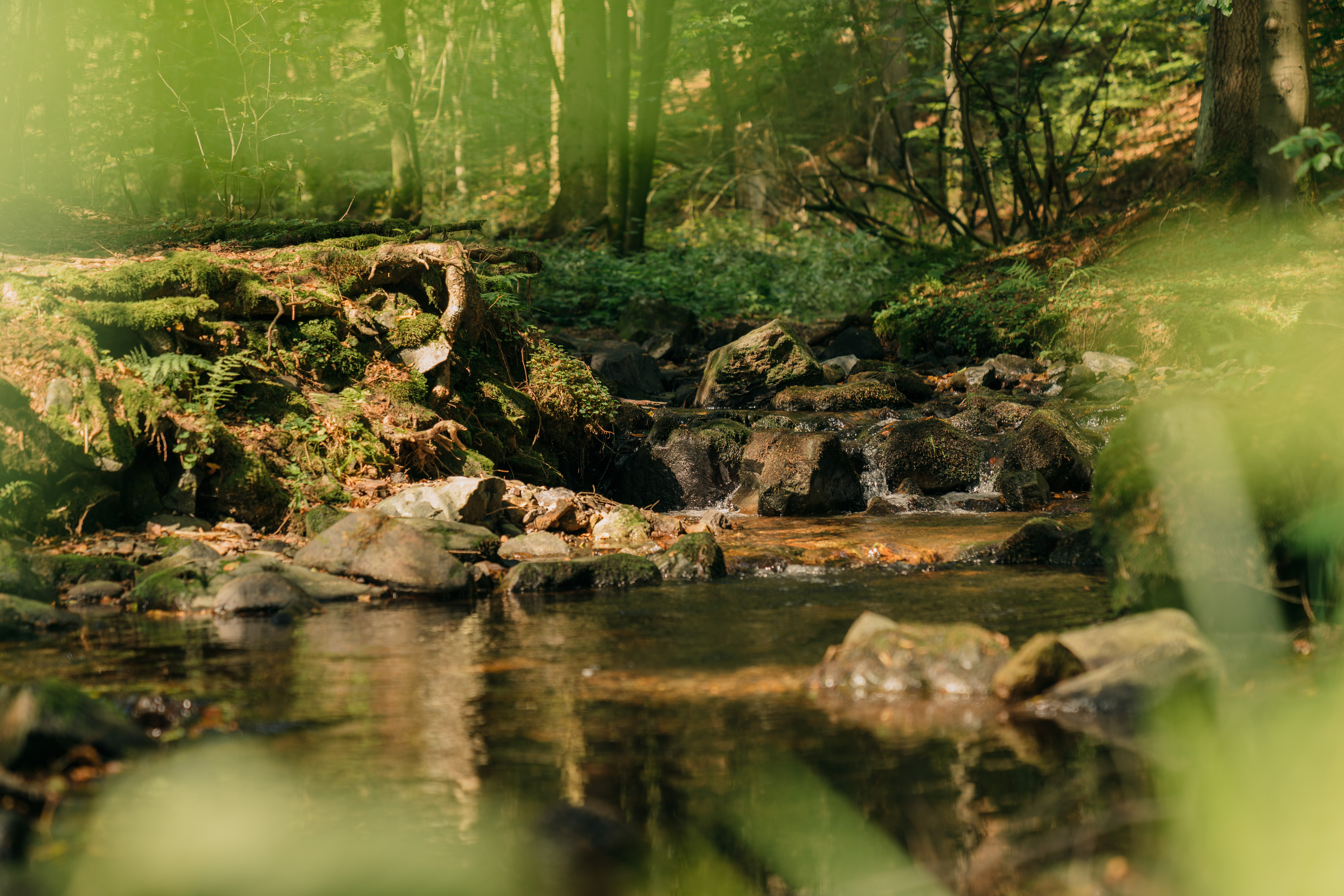
THE RENNSTEIG IN THE THURINGIAN FOREST
CROSSING THE BORDER
Where the Federal Republic of Germany lies today, there once existed a supranational, almost ungraspable entity spanning across many centuries and territories. From today’s perspective it seems almost modern. It was the expansive multilingual and ethnically diverse Holy Roman Empire itself. It was dysfunctional and confusing, and therefore could only be held together by a great deal of laissez-faire, cosmopolitan, and liberal policies. The peaceful alliances between the various nobilities, city republics, dukedoms, counties and kingdoms, dioceses of various denominations and free imperial cities were always on the verge of collapsing into violence. For this very reason, however, it can be seen as a model for a complex system of diplomatic balance. Quite a few historians see this as an early model for the European Union. In Thuringia, the traces of this medieval structure, often referred to as a “patchwork quilt,” have survived well into the modern era. While the rise of Prussia in the 18th century gave way to the desire for a unified nation-state of the German-speaking countries, a complex system of small, and even smaller states persisted in what is now southern Thuringia until the founding of the German Empire in 1871.
Whatever the origins may be, the Rennsteig actually runs through the middle of this territorial chaos, separating the north from the south. In the case of Neustadt am Rennsteig, the village is partially located in Schwarzburg and partially in Meiningen.
The great kingdoms of Saxony and Bavaria were joined at that time, from east to west, by the Duchy of Saxony-Altenburg, the Principality of Reuss of the elder line, the Grand Duchy of Saxony-Weimar-Eisenach, the Principality of Reuss of the younger line, the Duchy of Saxony-Meiningen, the Principality of Schwarzburg-Rudolstadt, the Principality of Schwarzburg-Sondershausen, and the Duchy of Saxony-Coburg and Gotha. In between there were still a few small islands of the Prussian kingdom - lands that belonged to the Electorate of Hesse until 1866, which at that time took the “wrong” side in the German War between the Prussians and Austria. The Rennsteig’s linguistic origins are somewhat unclear. It’s probably incorrect, but it might be derived from ‘Rain’, an old hunter’s term for border. Another theory points to a horseback trail for militarily routes protected by the forest. Whatever the origins may be, the Rennsteig actually runs through the middle of this territorial chaos, separating the north from the south. In the case of Neustadt am Rennsteig, the village is partially located in Schwarzburg and partially in Meiningen. Since the Middle Ages, however, it has mainly separated the Franconian part of Thuringia from the Upper Saxony part in the north. It is therefore not only a border and meeting place between territories, but also between dialects and mental reference points.
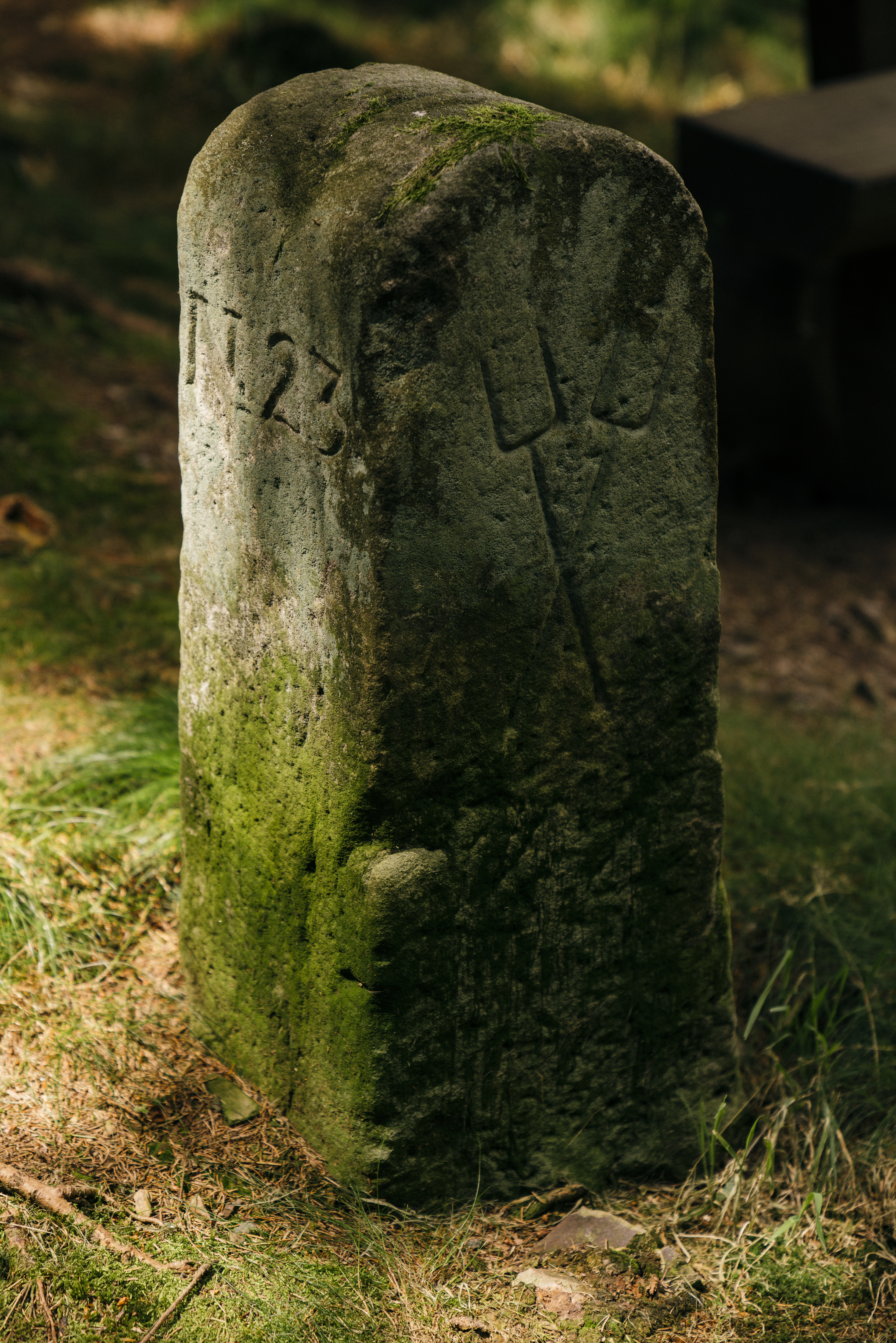
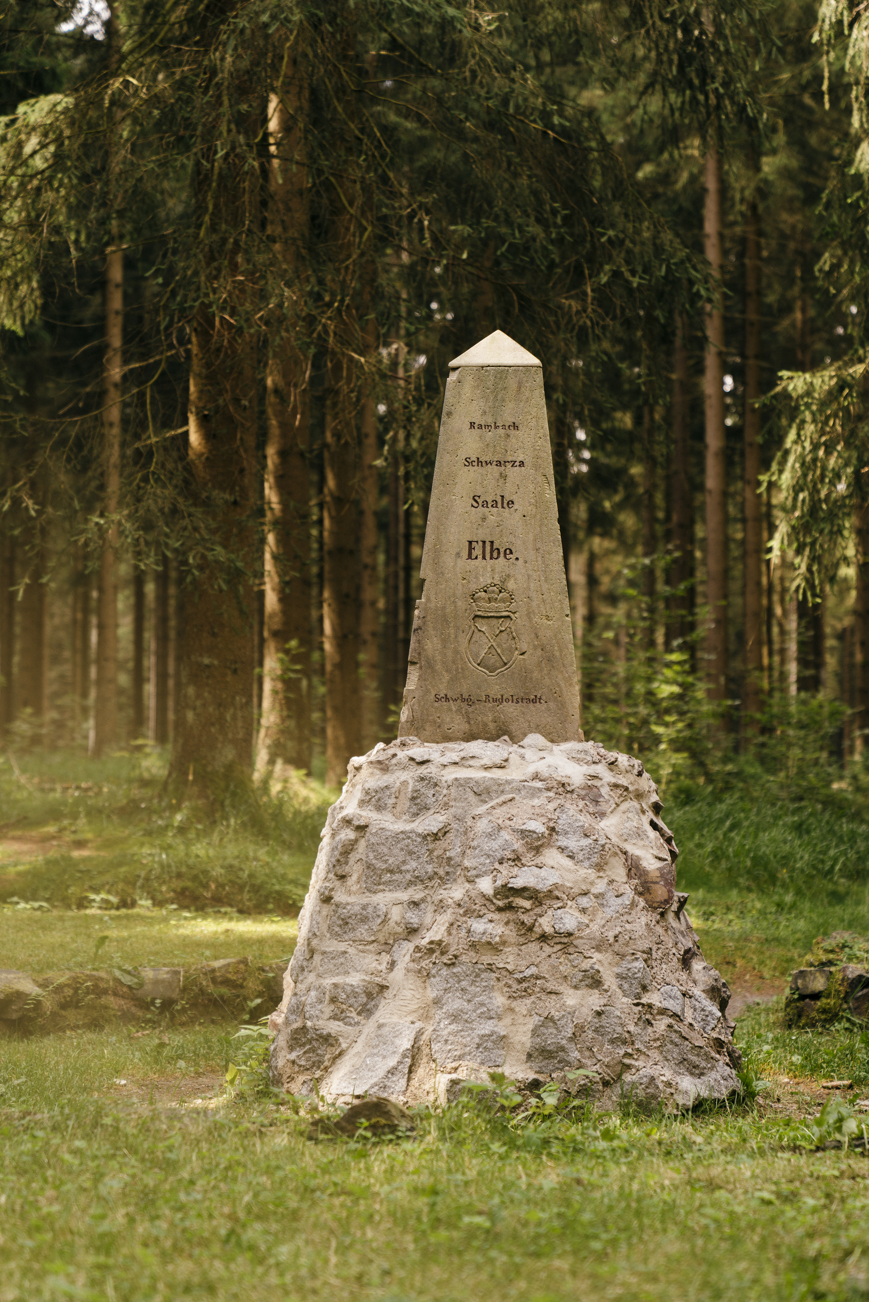
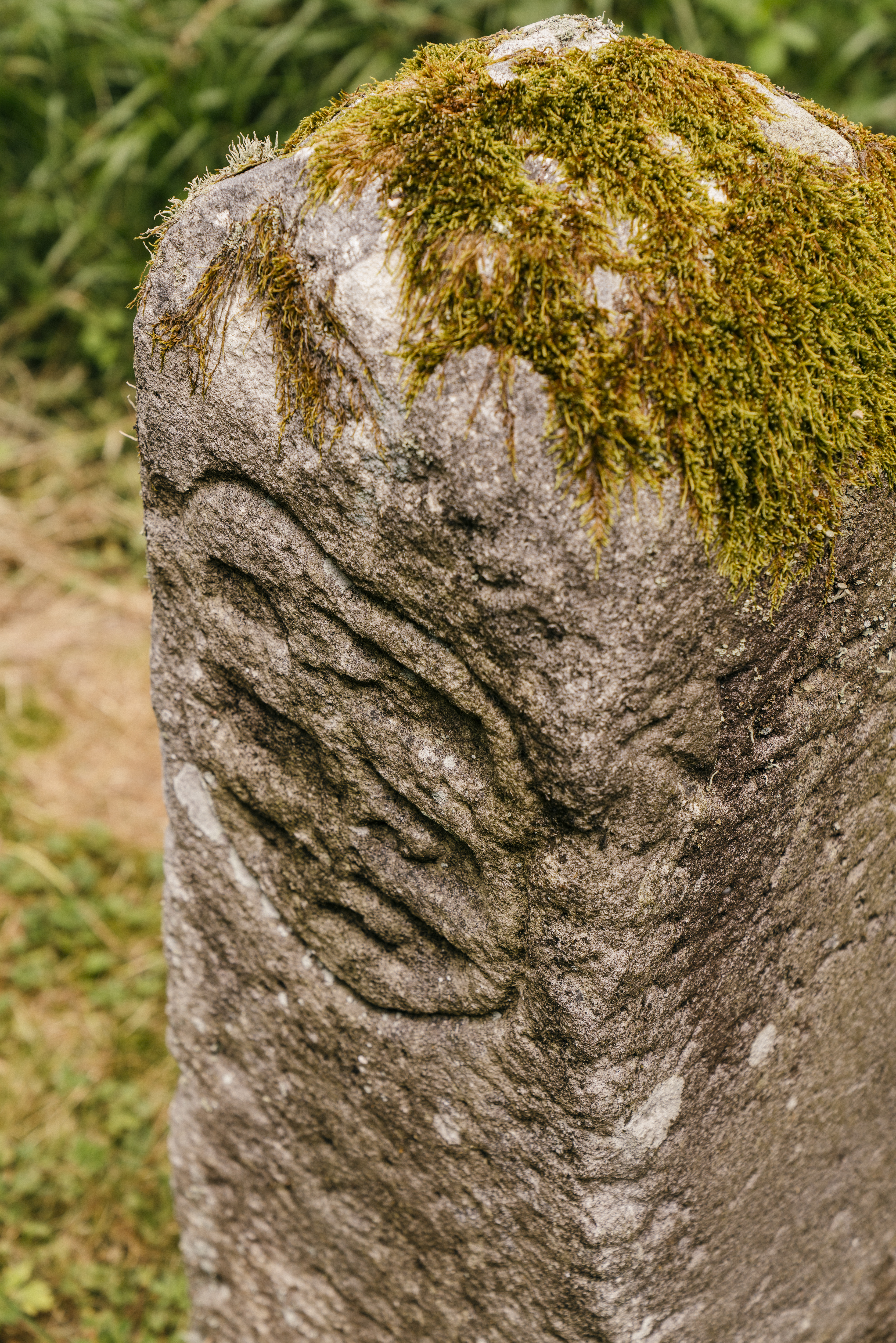
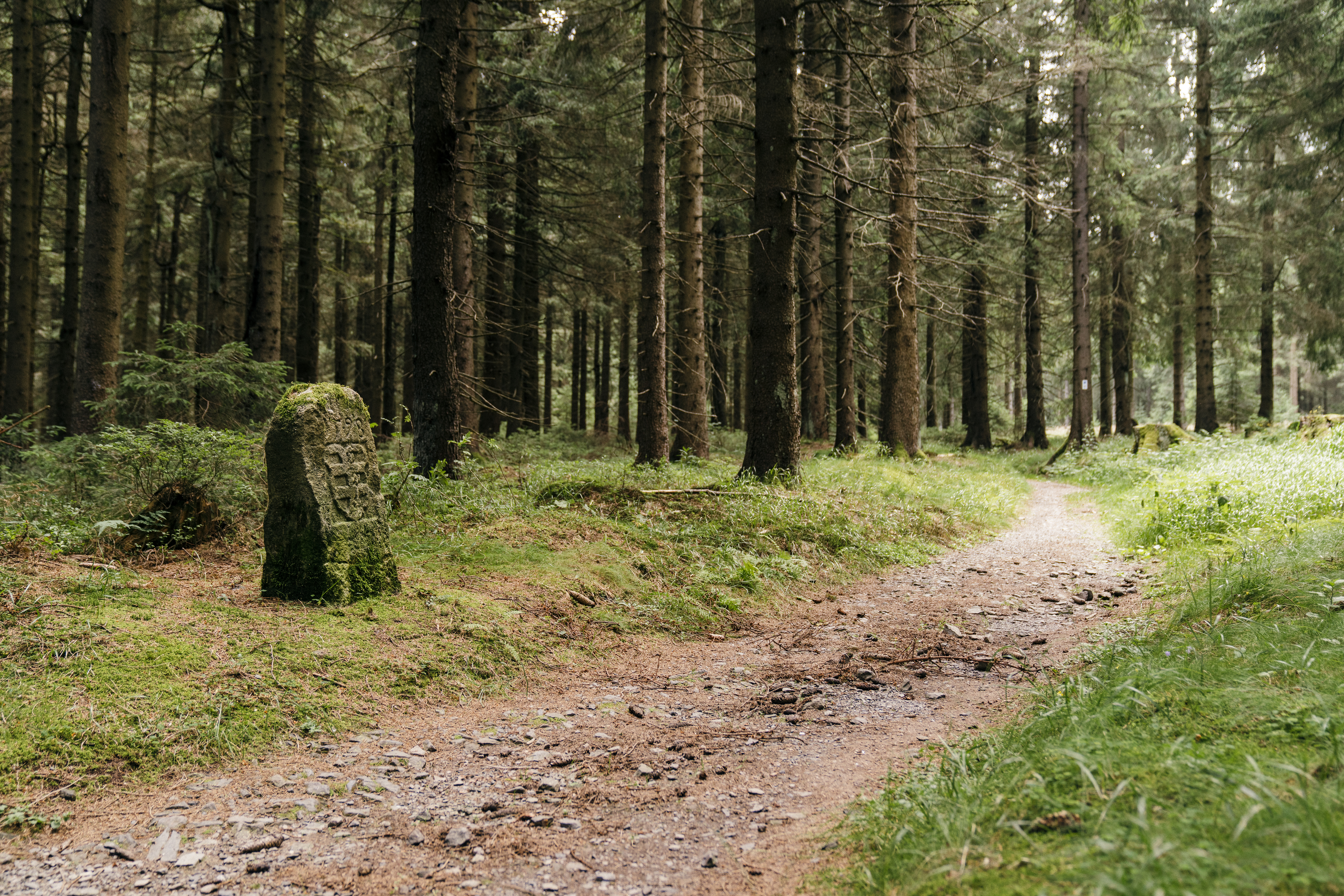
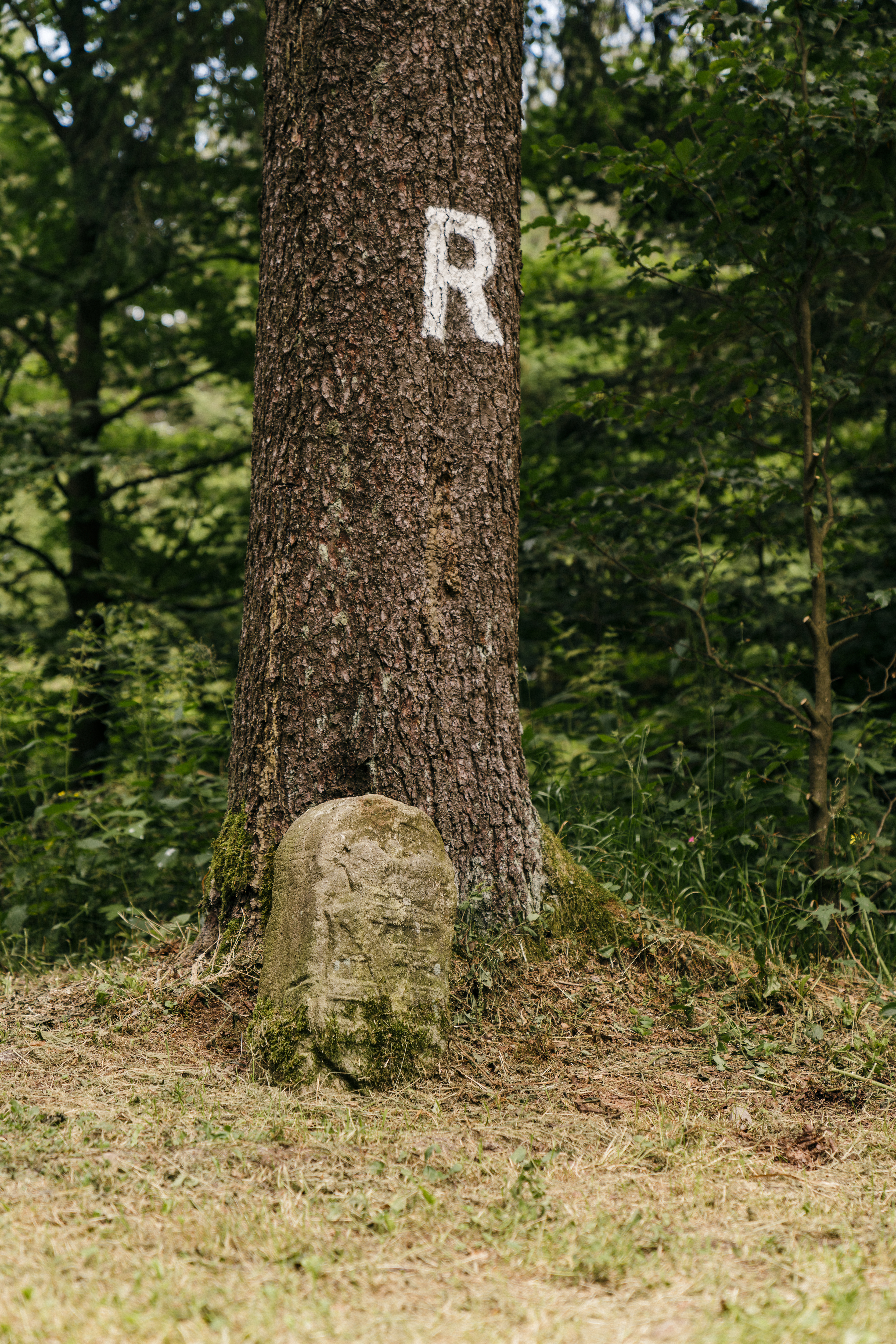
Along the Rennsteig, the numerous border stones still serve as reminders of this history. More than 1,000 stones can be traced, and about 800 are still preserved. Quite a few of them are the so-called ‘Dreiherrensteine’ or ‘tripoint stones’ marking the border of three territories. Of course, there were quite a few of these throughout the course of the complicated history of Thuringia. The counties of Orlamünde, Henneberg or Gleichen, which disappeared early, for example, have not been mentioned yet. The ‘Gesamtgrenzsteinkatalog’ a catalogue of all the landmark stones of the Rennsteig association, can be viewed in the Rennsteigmuseum in Neustadt am Rennsteig. It consists of 4,000 pages. Even the water, it seems, considered the path over the ridge of the Thuringian Forest to be a border.
According to an old Rennsteig custom, people carry a stone from the Werra River from one end of the Rennsteig in Hörschel to the other in Blankenstein, where they throw it into the Selbitz River - or the other way around if the route leads from east to west.
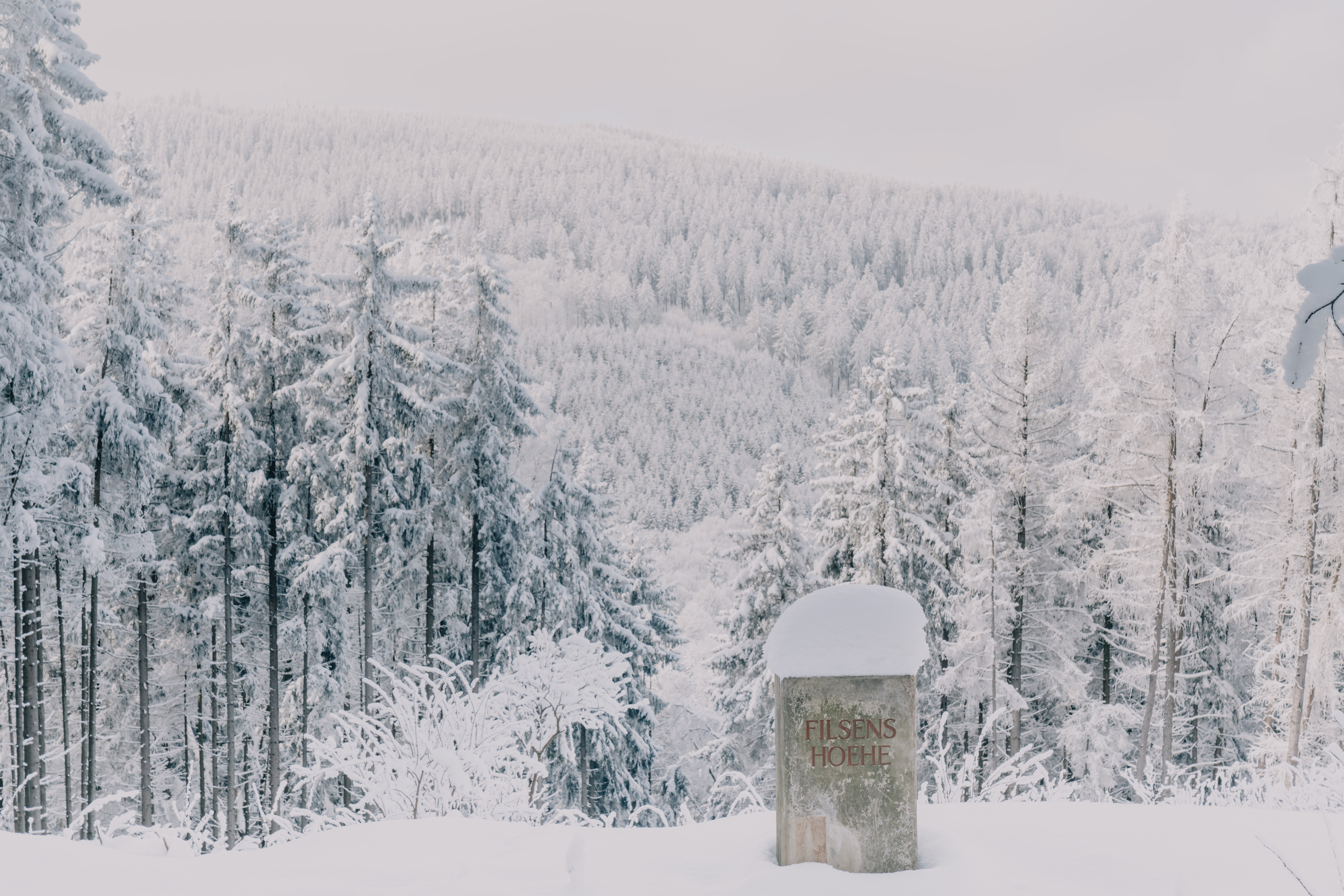
The river systems of the Weser, Rhine and Elbe border each other at a watershed point near the sources of the Werra, Grümpen and Rambach. In the Rennsteig community of Siegmundsburg, a ‘Dreiherrenstein’ marking this triangular border was placed there in 1906 in addition to the one already placed there in 1733. By 1832, the Rennsteig was no longer just considered to be an old military trail. The idea of tourism was just starting to develop around that time, and it was classified as a hiking trail, a symbol of connection. Just as it separates the Franconian from the Thuringian cultural area, it also connects the Hessian part of Thuringia in the west with the Franconian area in the south of the state. According to an old Rennsteig custom, people carry a stone from the Werra River from one end of the Rennsteig in Hörschel to the other in Blankenstein, where they throw it into the Selbitz River - or the other way around if the route leads from east to west. In Blankenstein, the Rennsteig ends on a bridge that reaches across a river that was and still is a border. Even if the Rennsteig is widely associated with Thuringia, its course also leads through Bavaria, another federal state that long belonged to a different political system. Thus, the border trail itself has been the victim of border demarcations for decades. While the ‘Rennsteiglied’ (‘Rennsteig Song’) was first sung in 1951, it soon became a classic of GDR folklore. At this time, a part of the Rennsteig was impassable due to a political border. Until 1990, the eastern end of the trail was situated in Neuhaus am Rennweg and the western end was at Vachaer Stein near to Wartburg Castle. This was due to the restricted areas at the border to West Germany. Today's hikers might cross the Bavarian-Thuringian border up to six times, and not even notice.
More Routes