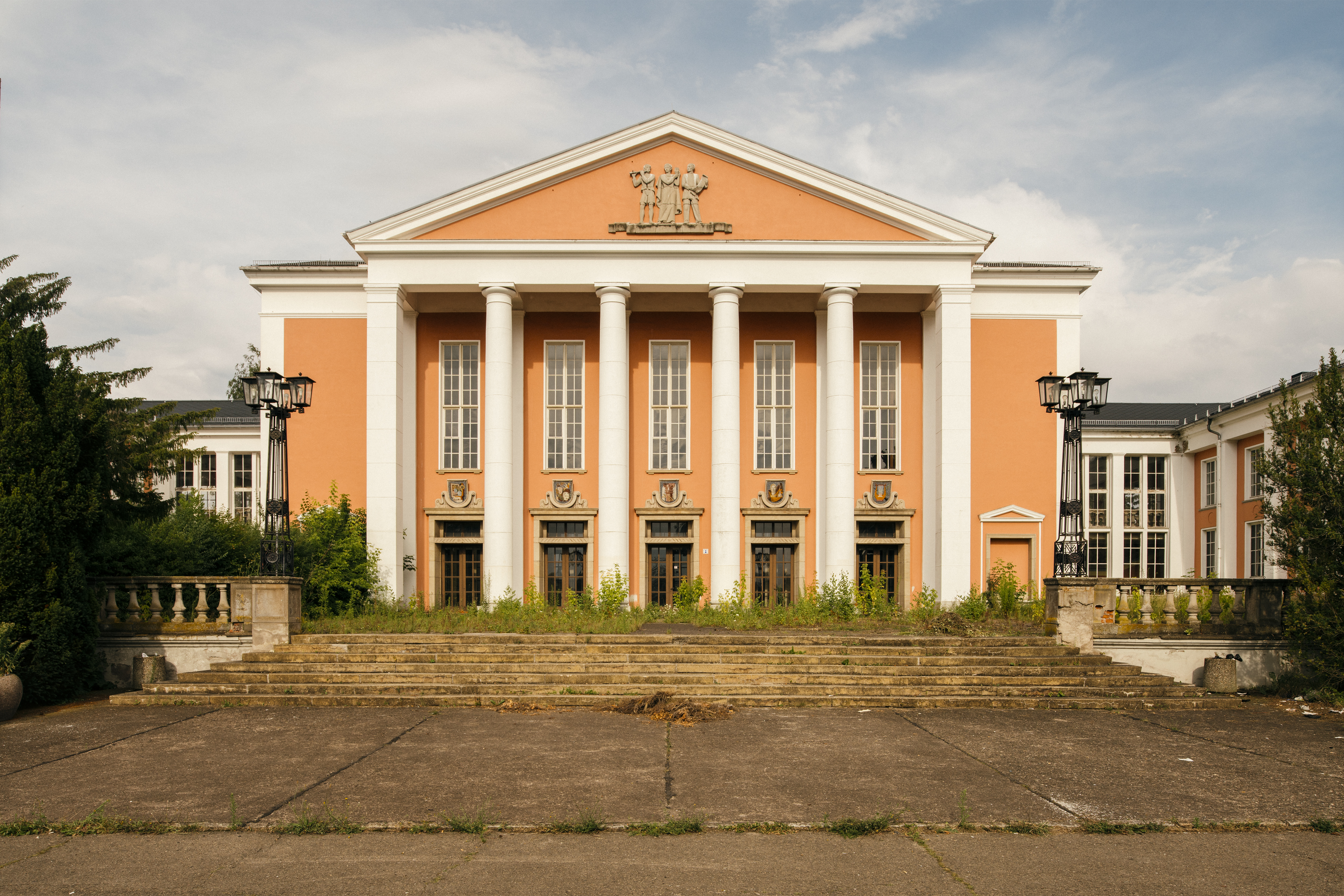
DISCOVER THE REGION
HER(R)BERGSKIRCHEN
SHOW ON MAP
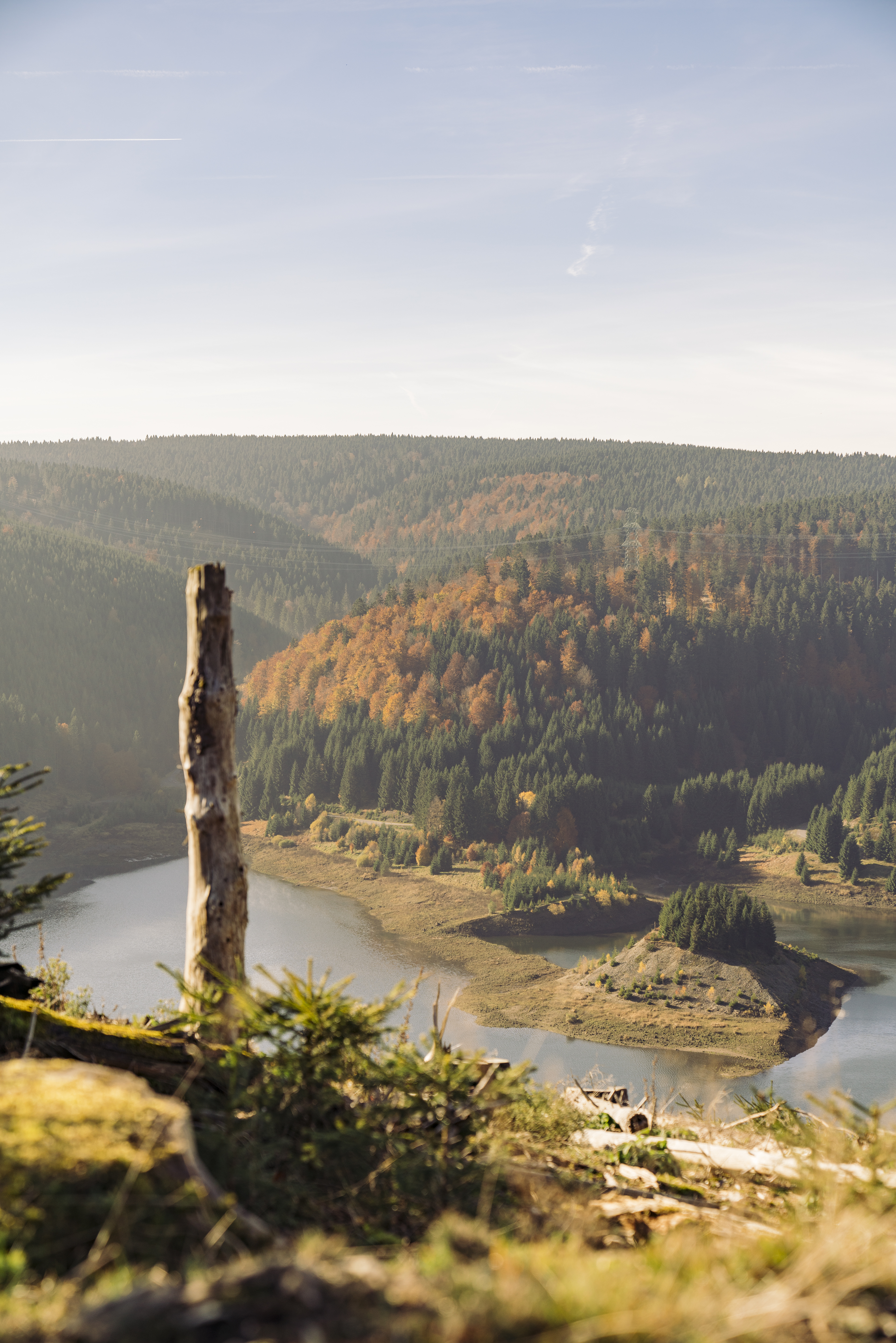
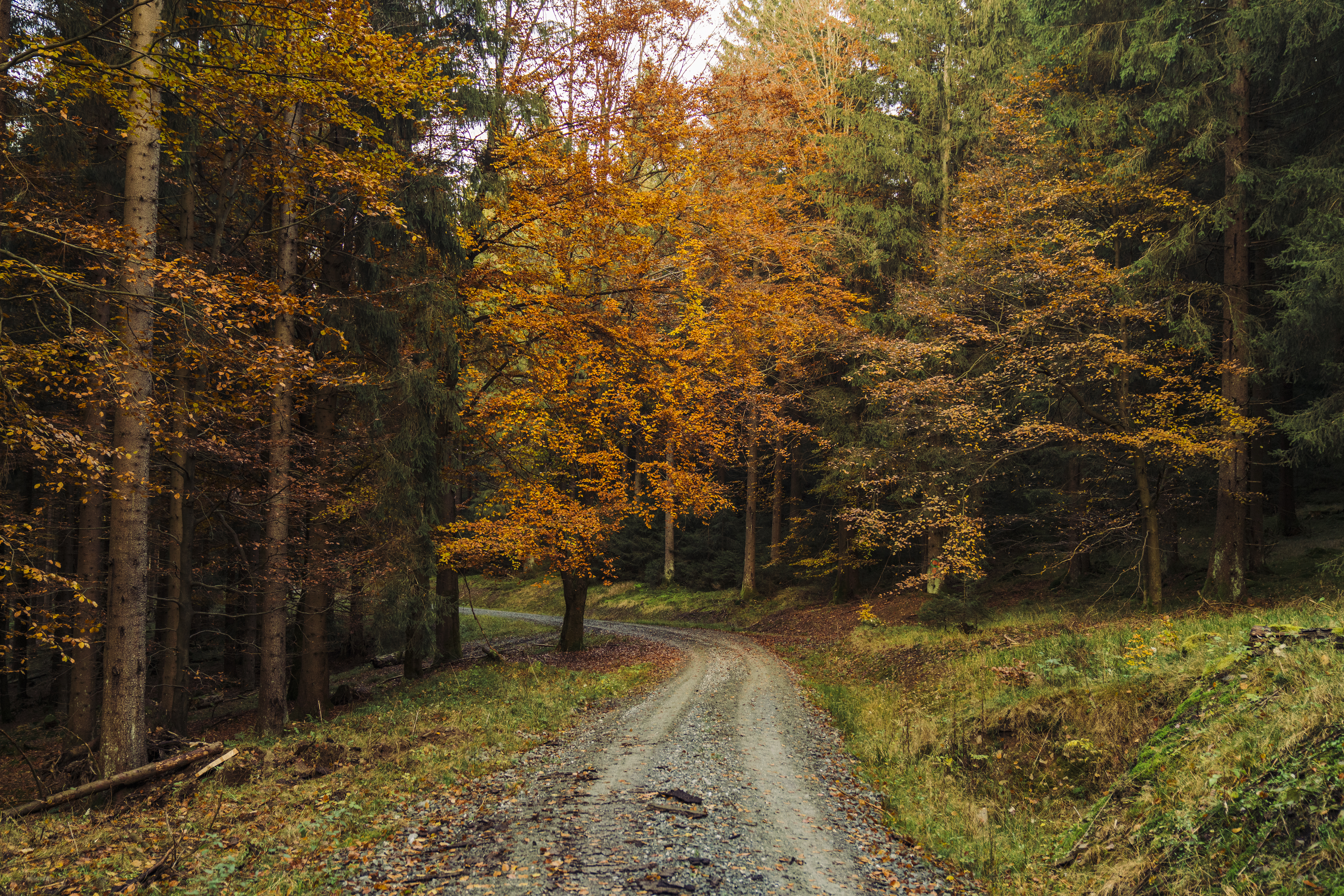
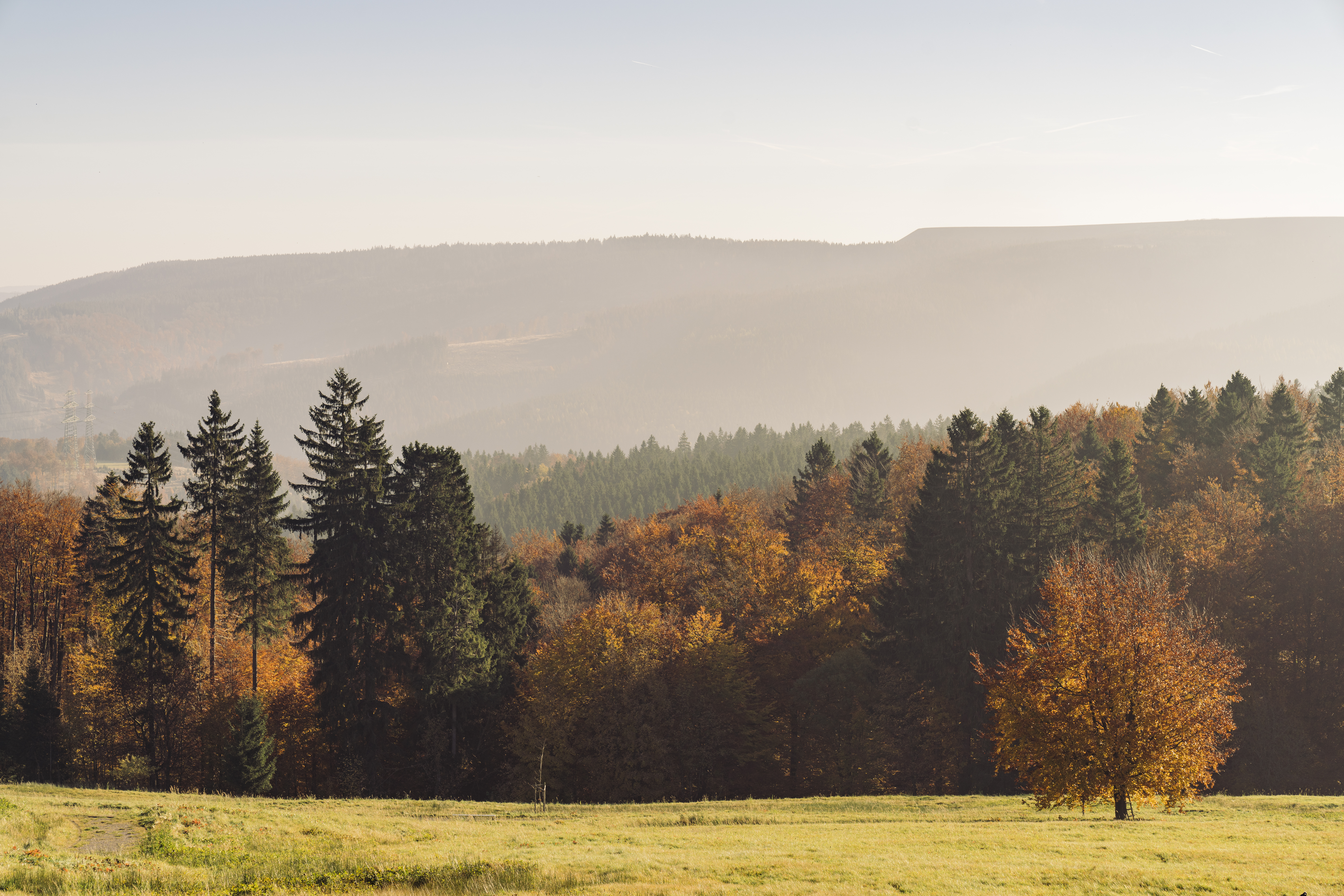
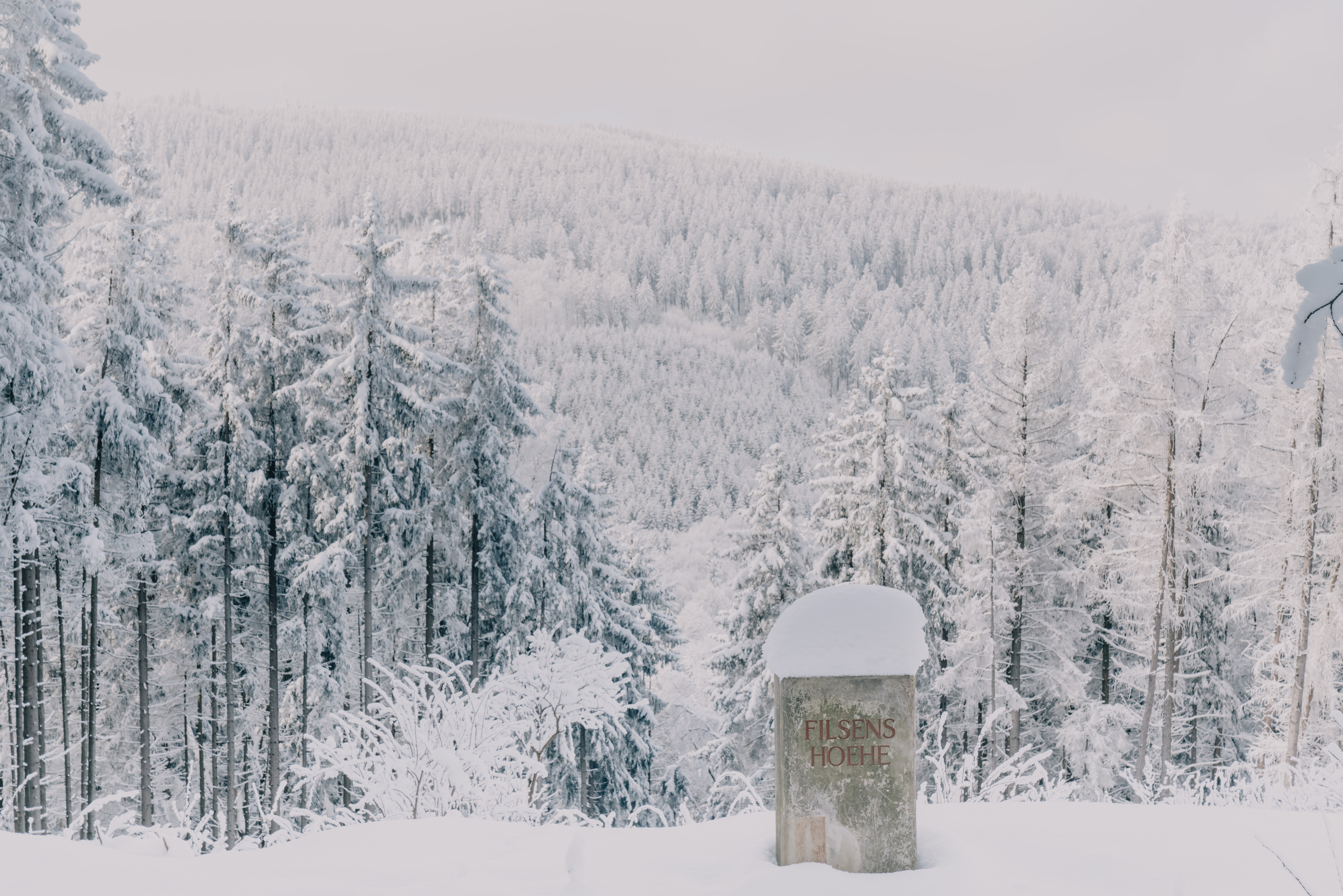
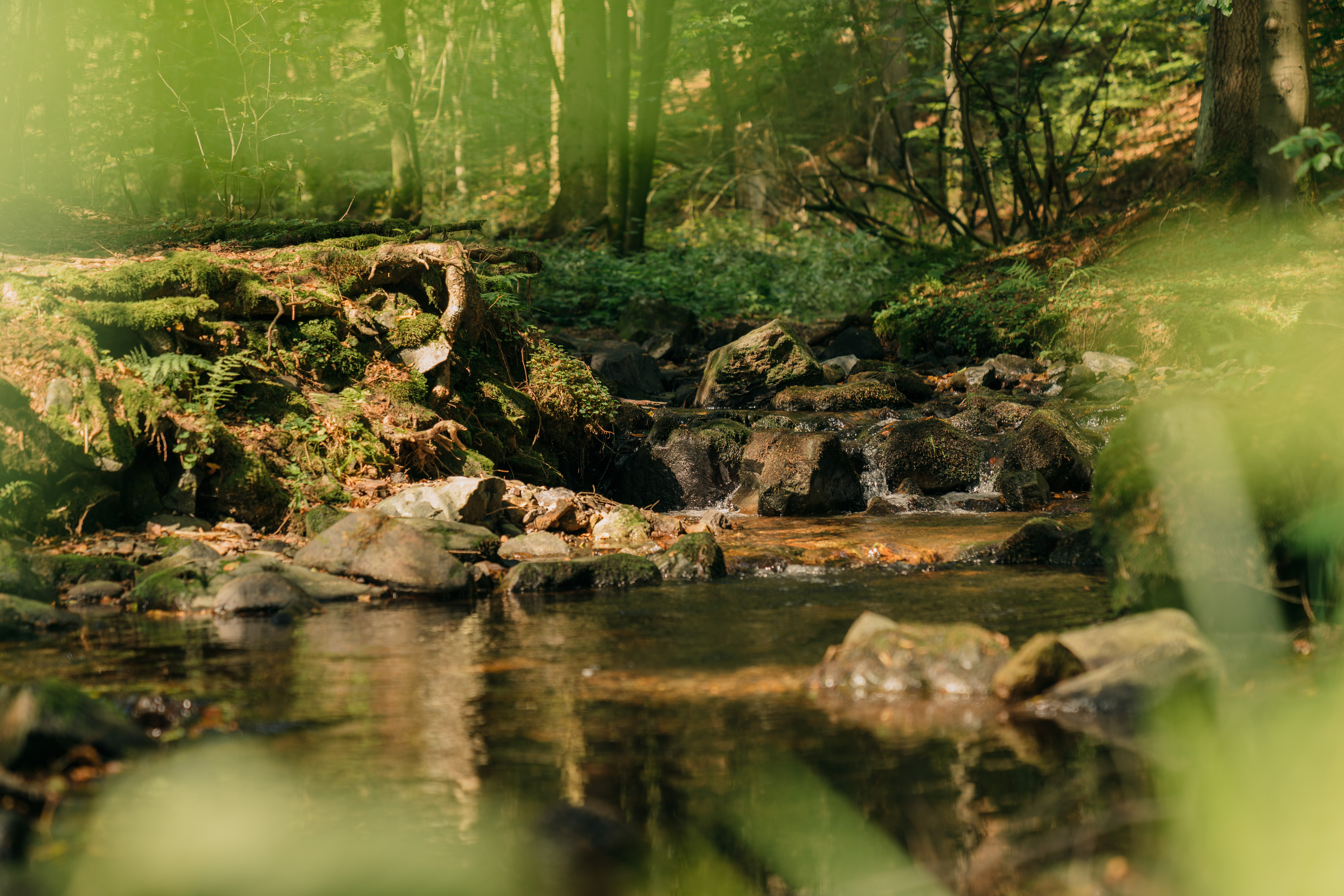
THE PANORAMA TRAIL IN SCHWARZATAL
GOLD AND ENERGY
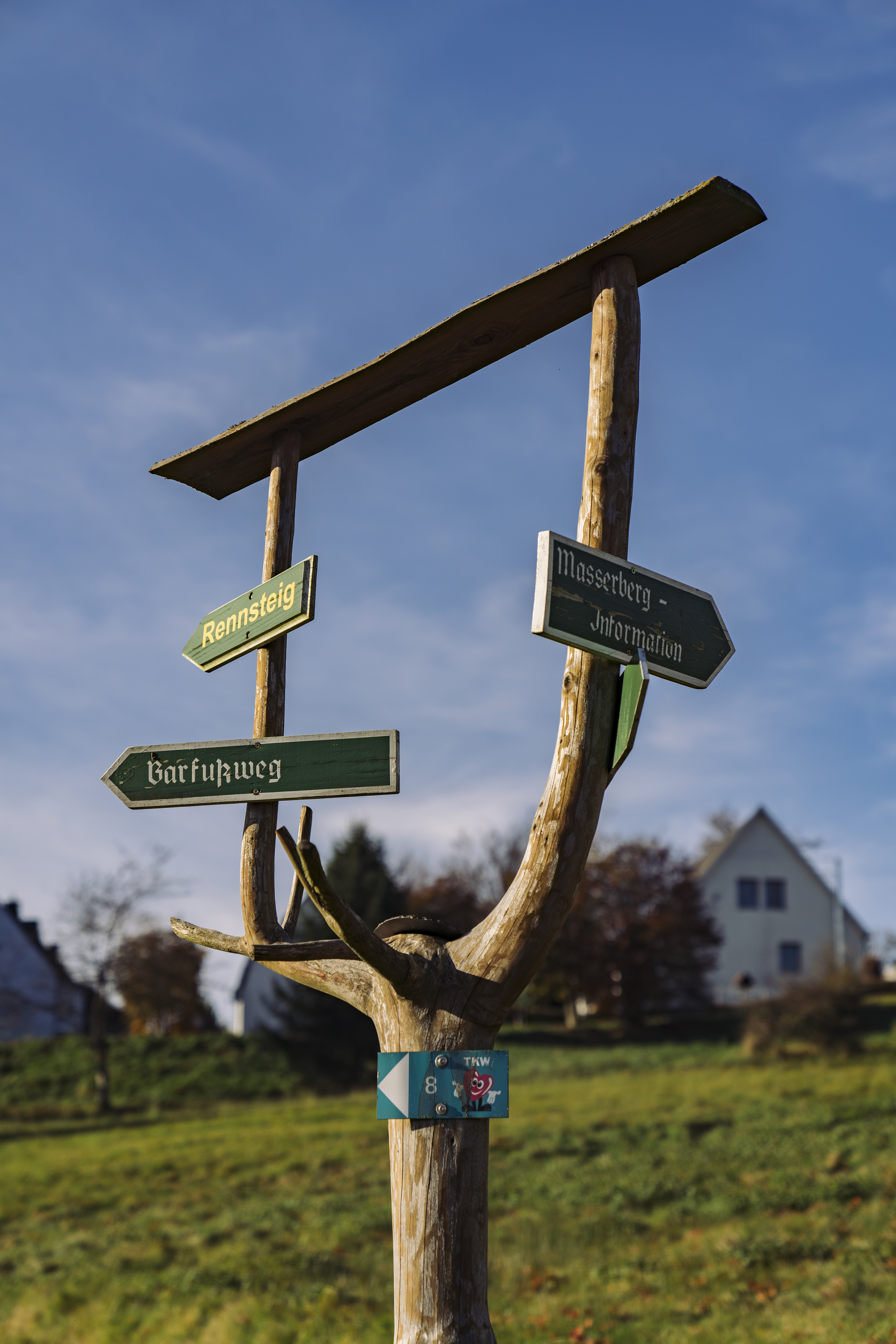
More Routes
SHOW ON MAP
THE PANORAMA TRAIL IN SCHWARZATAL